About
The aerial view has been a cornerstone of my land ethic ever since I earned my pilot's license during a Master’s program in fluvial geomorphology, hydrology and political science. In the classroom, I learned the complex formulas describing erosion, deposition, shear stress, and sediment transport. In the air, I saw these complex relationships sculpted onto Oregon’s coastal, mountain, and desert landscapes. More importantly, I learned about the context, and the interconnectedness of natural and human landscapes.
As the Founder and Co-owner of a landscape restoration and management firm, I began using my aircraft and cameras to educate my clients and to conduct much more thorough watershed analysis than was possible from the ground. Particularly with fluvial systems, it is difficult, if not irresponsible, to prescribe a restoration methodology without understanding the forces at work upstream, and potential consequences of these methodologies downstream of the project site. In addition, existing aerial mapping efforts using large image sensors and high-altitude aircraft were extremely expensive, difficult to schedule and were not capable of providing the resolution we needed to assess river bank stability, ground cover, and bed and bar formations.
With this in mind I designed a vibration-damped vertical camera mount that could accommodate a wide variety of sensors, and which required no alterations to the airframe. The results vastly exceeded my expectations, and within a few years I was able to step down from the restoration company and start Kestrel Aerial Services.
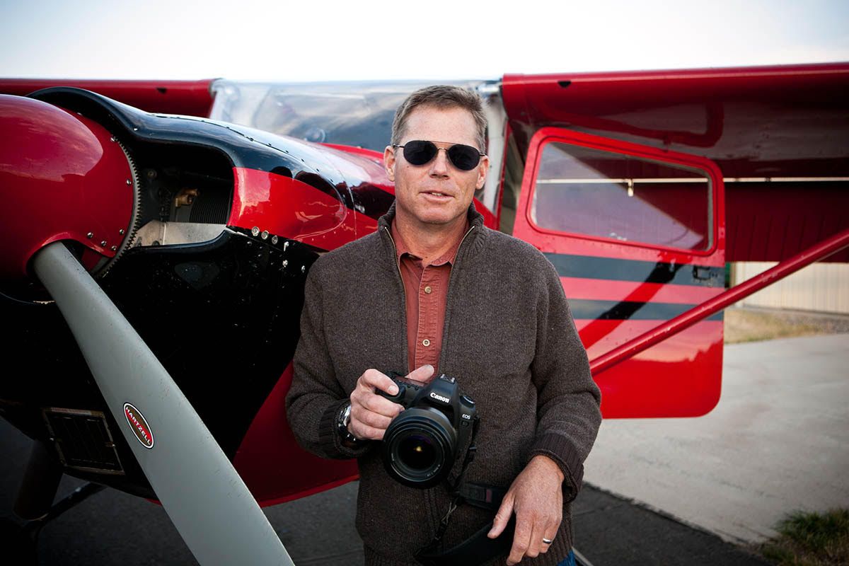
Photo: Ralph Alswang
Press
-
Outdoor Photographer Cover Shot and Article
Button -
Theory Magazine Cover Shot and Article
Button -
American Archaeology Ice Patch Survey
Button -
Montana Quarterly Article
Button -
AOPA Pilot Article
Button -
AOPA Pilot Flamingo Photography
Button -
Explore Big Sky Article
Button -
Billings Gazette Big Sky Honor Flight Article
Button
Testimonials
"Chris has an incredible talent for photographing landforms, infrastructure, and insightful examples of river process, which has allowed me to better interpret river systems and more effectively communicate with stakeholders. We have found Kestrel’s orthoimagery and digital surface models to be technically sound and highly cost-effective for stream restoration projects."
Karin Boyd, Principal Geomorphologist
Applied Geomorphology
"Kestrel Aerial Services has been doing Trumpeter Swan surveys for us for the last three years, successfully documenting swans throughout Montana and the Yellowstone ecosystem. The quality photographs provided great insight into different age classes of swans, group size and banded birds. For the serious researcher, Chris is proven a leader in the field."
William Long, Program Director and Wildlife Biologist
Wyoming Wetlands Society
“After struggling for years to charter planes so I could take my own shaky photos of alpine landforms, I struck gold when I met Chris Boyer. The images that Chris captured over the last decade now set the standard for alpine aerial photography. Coupled with his very reasonable price schedule, I recommend him without reservation.”
Craig Lee, PhD, RPA, Director of Research and Development & Principal Investigator
Metcalf Archaeological Consultants, Inc.
"Chris’s devoted work from communication, planning, budgeting/re-budgeting to problem-solving and post-flight follow-ups demonstrated experience, efficiency, and professionalism. To be honest, I wouldn’t know how to proceed with my long-term glacier monitoring project without the service and the quality of imagery Kestrel provided."
Yanan “Nancy” Li, Assistant Professor, Department of Geography
Texas State University
“I’ve flown with Chris 5-7 times for photo missions in Wyoming and Montana. He is uniquely able to safely put the plane where I need it to make compelling images.”
Joe Riis, Photographer
National Geographic
