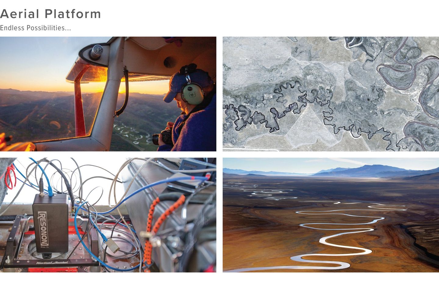
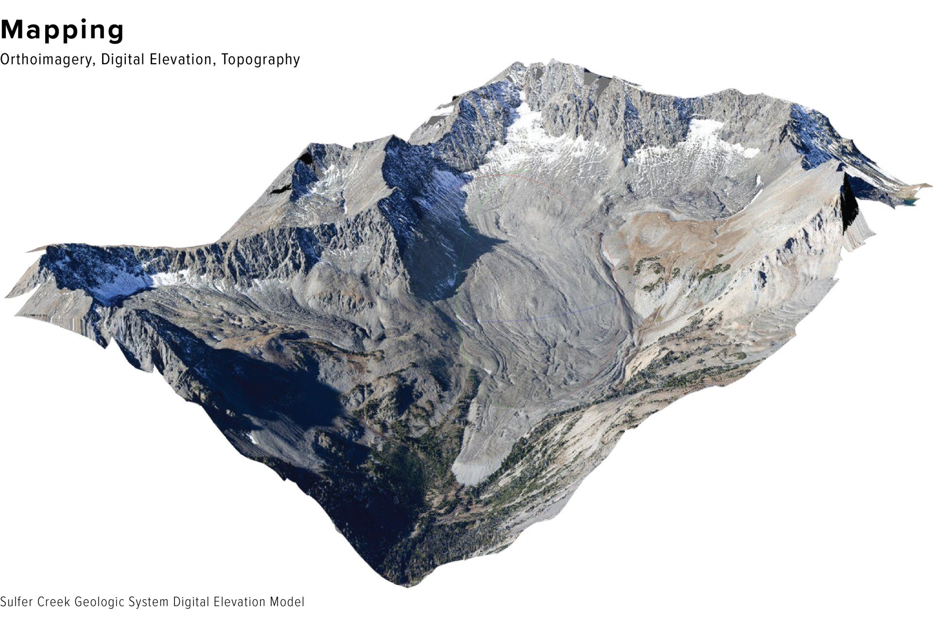
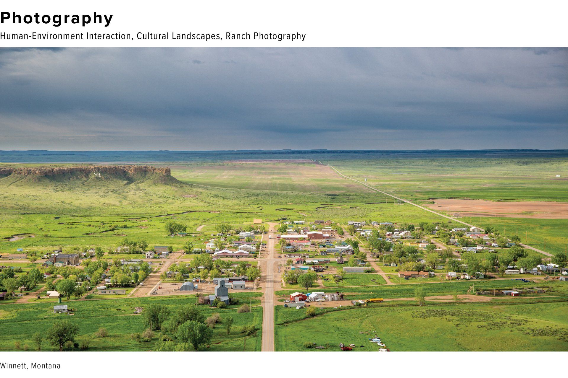
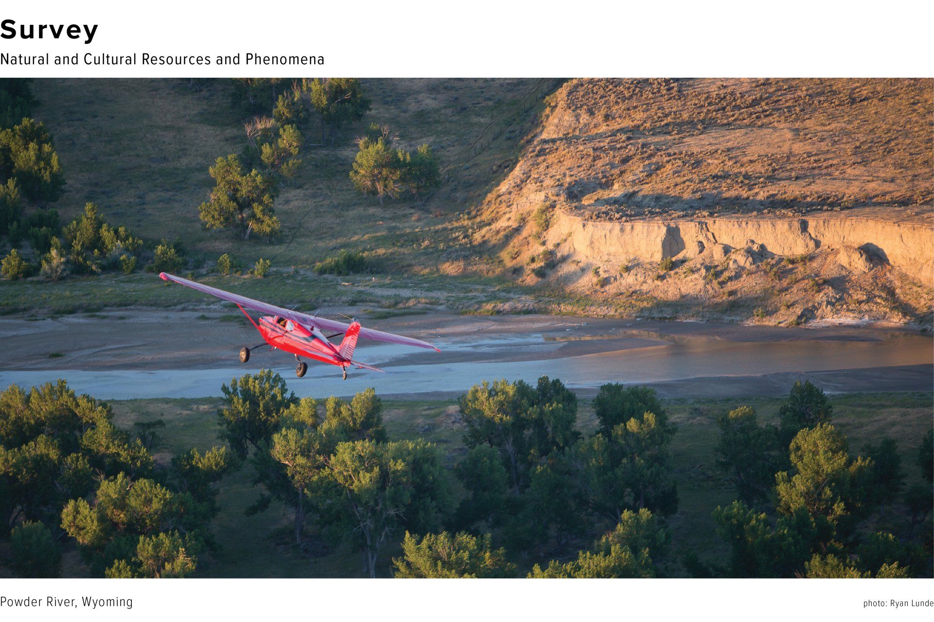
Follow Chris on Instagram to see his latest flights, projects, and an occasional post from his farm.
So thrilled with this cameo in this month’s Nat Geo from our Big whooping Adventure following birds from Texas to Canada. Except for my portrait of @mforsbergphoto, he took all the photos while I was just the trained rat who flew the plane. Mike and I have been flying together for many years, and the last photo is from a flight in 2011 when we were slipping, practically undetected, amongst migrating pronghorn after a brutal winter in the Northern Great Plains.
Big Sandy, Montana, hometown of @senatorjontester. Happy to lend this image to @bella.butler_ ‘s very excellent article on our very excellent Senator.
@jontester embodies Jefferson’s sentiment that “I think our governments will remain virtuous for many centuries; as long as they are chiefly agricultural….”
I have grown accustomed to people lifting my photos from the web for their own projects and purposes. My reaction has long since mellowed from indignation to mild annoyance and occasional amusement. But I might even be flattered by this one—even if it’s several notches below the examples of Ansel Adam’s, Sebastiao Salgado and others.
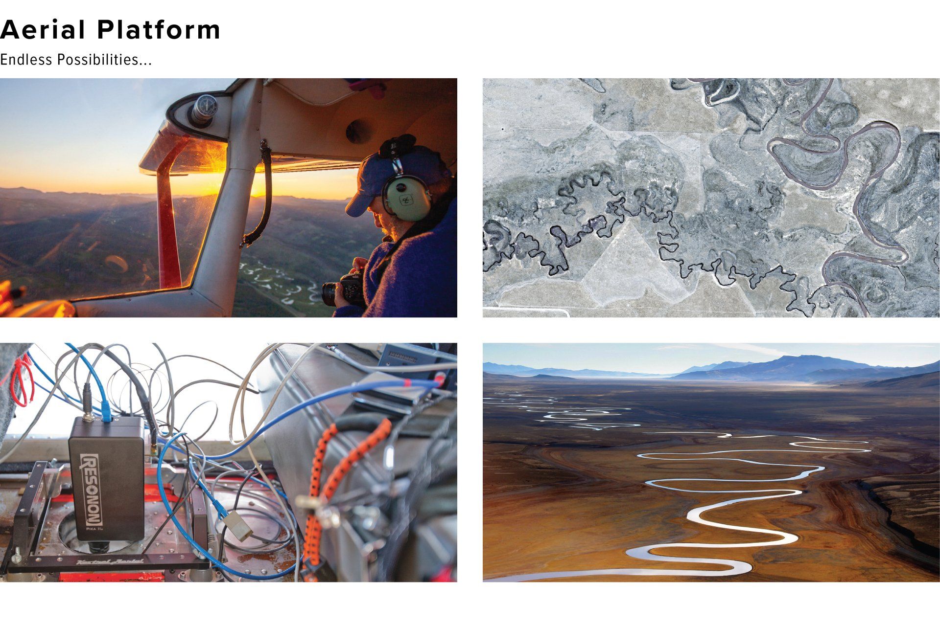
I took this in the Centennial Valley in 2003 (a year or two after Galen’s death) during one of my first flights with the first camera I bought for aerial photography—the newly released 6 megapixel Canon 10D. In 20 years of shooting, I don’t think I’ve shot its equal.
Always grateful to Luke Duran at Montana Outdoors Magazine for the opportunity to share my view of Montana. While a wide angle photograph at 16 millimeters may mute the vertical grandeur, and obscure the specific details of a landscape, I always love its ability to hint at the vastness.
Years ago, with only a 28-70 millimeter lens in my kit, I was feeling confident enough about my aerial portraits to splurge on some new glass. It wasn’t immediately obvious to me whether it should it be the 70-200mm telephoto zoom to magnify the incredible details I saw from the sky, or a wide angle zoom of 16 to 35mm to more effectively embrace the expanse of the aerial view. Both lenses cost approximately the same, so my consumer impulse suggested the former, because, of course, in dollars-per-millimeter, the 70-200mm would be a much better deal than the 16-35mm. But my aesthetic impulse was reflected in the fact that the vast majority the images I made with my only lens were shot at below 50 millimeters.
Today, my three workhorse lenses are the 16-35mm, the 24-70, and the 24-105, and that image distribution still holds up. Seventy percent of my images are still made below 50mm and the clusters of photographs at the end points of each zoom are informative: of the 47,062 photos taken with those lenses, 9% were shot at 16mm, 24% at 24mm, 7% at 35mm, 13% at 70mm, and 11% at 105mm. The majority of photographs clustered at 70mm and 105mm were made during survey work when I was tasked to document or count swan chicks and collars, capture minute details of archaeological sites, identify vegetation and substrate sizes on river surveys, or catalog specific infrastructure details.
Of course the upside that comes with flying around documenting landscape bedlam is the spectacular gift of the rest of the Montana. 1. Sheep mountain near Livingston. 2. The Crazy Mountains from Springdale. 3 & 4. Green folds. Very green. 5. A Super Cub was one of the many aircraft inspecting the Yellowstone train derailment on Sunday morning.
I borrowed a Big Boy lens with the hopes of making a photograph of our sand hill crane on her nest. It poured all weekend forcing me to concentrate on soggy birds on the deck. A few clear hours at the end allowed me to make a couple of images of our sweet bird. Happy to report she’s off the nest now with at least one colt.
I made the mistake of borrowing a mirrorless Canon R5 for a test flight. Passable results at ISO 20,000, in-camera stabilization with sharp images at 1/160th of a second—previously impossible without an external gyro—, and a seemingly broader dynamic range. A few more megapixels have me looking for an excuse to make some more 8-foot by 12-foot prints. Corporate profits about to plummet.
#canonr5 #mirrorless #aerialphotography
I have trouble justifying the expense and carbon of just flying for myself, so 99% of my personal work happens on route to client projects. But on Saturday I took myself on a joyride for no good reason. 1. Everybody gets a tiny piece of Wide Open Space (Ennis). 2. it was nice to see some moisture in the neighborhood (Centennial Valley). 3. Chased my glory in the Big Hole Valley. 4. Our Lady of the Rockies never gets tired of her view (Butte). 5 & 6. Estuaries are always beautiful. No matter how toxic. (Whitehall).
#aerialphotography #conservationphotography #ennismontana #centennialvalleymontana #buttemontana #goldmining
A strong finish to the week with @ronan_donovan over some spectacular #beaver complexes in the #greateryellowstoneecosystem. I love introducing a gifted photographer and storyteller to the Red Plane’s fantastic #aerialphotography capabilities.
#conservationphotography #yellowstonenationalpark #wetlands #cessna
While flying a watershed tour for a local non-profit this morning, I noticed a plume of smoke in upper Fawn Creek in the northwest corner of Yellowstone National Park. Had to violate my “No texting and driving with passengers onboard” rule to contact The park’s Fire Dispatch Center. Although it wasn’t exactly in heavy timber, it’s awful dry right now and probably good to get their eyes in it.
#yellowstonenationalpark #aerialphotography #forestfire
The Rocky Creek Beavers got an early start on their dam this year, after it was leveled by last spring’s floods. I made a neighborly gift of some fresh cottonwood branches I trimmed off the road. After dinner Nellie and I pulled up a chair and watched the action. Beaver shared the bounty with muskrat roommates, trout were rising, kingfishers fishing, warblers warbling.
It’s never a bad idea to sit quietly in nature. You will always be rewarded.
1. Took the door off and brought the 15mm fisheye along for my @lighthawk_org flight in the #centennialvalley yesterday. 2. Into the murky dawn. 3. #nationalgeographic writer and photographer Jon waterman making magic over the #redrockslakenationalwildliferefuge. 4. There’s something about a grass airstrip that makes every plane look sassy.
#aerialphotography #canonphotography #sigmaphotography #cessna #taildragger #henryslake #conservationphotography
Finding Baby Swans in the Blackfoot is a delightful way to spend a summer morning. 1. Arrived just as the morning fog was breaking up—such great moisture this year! 2 & 3. The camera does the hard work for me—I just look for white and grey blobs—and it’s been a great year for grey blobs. 4. The Swan River. 5. The iPad and the GPS never tire of telling me to “PULL UP, PULL UP!” 6. Gorgeous trip over the Mission Mountains on my way to fuel in Ronan, MT.
#aerialphotography #aerialsurvey #conservationphotography
A few days in Wyoming this week: 1. A not so grassy part of the Thunder Basin National Grasslands. 2. Departing Buffalo, Wyoming at Sunrise. 3. The Wyoming landscape gets texture. 4. The Yellowstone River flowing into the Southeast Arm of Yellowstone Lake in Yellowstone National Park.
#aerialphotography #conservationphotography #wyoming
1. A lovely spring tour of Yellowstone National Park and the Madison River. 2. Daly Lake in the Paradise Valley. 3. Pelican Creek meandering towards Yellowstone Lake. 4. Alum Creak meandering through the Hayden Valley. 5. Found ‘em. And 33 of their friends.
#aerialsurvey #aerialphotography #conservationphotography
1. A lovely morning shooting the Badlands for some great projects. 2. My engine monitor suggests we’re about to have a catastrophic failure, but I realized it was just kidding when it also told me the outside air temperature was over 300 degrees. Need to look into that. 3. Busy morning when I returned to the Hot Springs airport at 7:30.
Just a quick boast about my amazing wife—crisis this morning with Ruth—near death with what might be bloat (new pasture) thiamin deficiency and possibly grass tetany. She injects, drenches and massages; then keeps her upright while practicing campaign speeches. By 6:00 she’s alert and upright (but still a little blind) and getting a ride down to the barn for continued observation.
@boyer4gallatin @boyerfarm51
After a month on the road, 70 hours in the air, and nearly 6,000 miles on Jeff’s truck, we’ve reached the end of the #whooperhighway in Fort Smith, Northwest Territories. The #whoopingcranes left Texas uncharacteristically early, and this years unusually persistent winter has resulted in a late arrival.
@mforsbergphoto and @trlcam drove south yesterday, and I flew east in an effort to avoid some snotty weather, before turning south. An in-flight weather briefing suggested that I might be too late. With 300 miles across the cracked granite, trees, and ice of the Canadian Shield in front of me, and just one airport within the fuel range of the Red Plane, I turned back to #fortsmithnwt to await a more dependable forecast. Could be days….
The unimaginable scale of the Tar Sands in a place where water runs everywhere, and a thick industrial haze hangs for miles. But I guess it’s just the eggs that must be broken for our luxurious omelettes…. Escape down the Athabasca River into the truly trackless wilderness of the Wood Buffalo National Park. Then finally the leisure to explore and shoot with the door off, a photographer is provoked.
Into the heart of the Canadian Tar Sands on the final leg of the #whooperhighway. After not very many miles of trackless boreal forest and wetlands, the seemingly endless grid of seismic exploration and then the chaotic network of roads, transmission lines and industrial facilities. As a human being, I find the scale of this development heartbreaking. As a pilot, the network of roads is oddly more comforting than trees, rocks and ice.
From the #whooperhighway belly cam chronicles: diversions and unplanned landings, landscape change and prairie potholes still locked in ice after several big storms. Now waiting out more marginal weather in Saskatoon. The birds, similarly are being interrupted by the conditions—waiting out weather in the Dakotas. Our journey is a pretty thin analog to theirs, but the Holiday Inn Express Saskatoon presents neither optimal habitat nor foraging opportunities.
@mforsbergphoto @trlcam
A strip of photographs along the #whooperhighway. At midday, the mapping cameras don’t do justice to the incredible topography of the Nebraska Sandhills. A white pile of feathers under a power line inspires a moment of panic…turned out to be one of the thousands of American White Pelicans we’ve been passing all day. The view of our trail from space suggests a long way to go before we arrive at the Whooper nesting grounds at Wood Buffalo NP.
Lucky to be on this journey with @mforsbergphoto and @trlcam
After a run of marginal weather in Rockport, we strapped some new gizmos on the plane and headed north to catch up with the birds. Grounded by 50 mph wind gusts in Temple, TX, then crawling through 30 knot headwinds we followed the specific tracks of two birds—at their altitudes and with their view. Hopi g to make Platte River tonight.
A little airplane jaunt #1: Bozeman to St. George, Utah, where electrical gremlins forced an overnight and delightful visit with an old friend and his mechanic. Off across the Grand Canyon with a somewhat patched up electrical system—as long as I only switched on the alternator occasionally to charge the battery. Into Tucson to visit another old friend—and his mechanic—who turned a tangle of chafed wires into a work of art. A test flight along the border wall—you can see the crisis in this photo—with Greg leading the way in Georgia, in case I need a ride home. Next leg: Tucson to Rockport, TX.
The Red Plane is finally back on her feet after a couple of months in the infirmary having her landing gear rebuilt. With no parts or designs available we had to re-engineer new landing gear brackets from the ancient worn and broken parts—a practical and administrative nightmare. But we’re stronger than ever and back in action just in time to join an old friend on a grand adventure.
View more
