Photography
An aerial photograph combines the best qualities of art, map, and data to provide an intuitive understanding of subject and context.
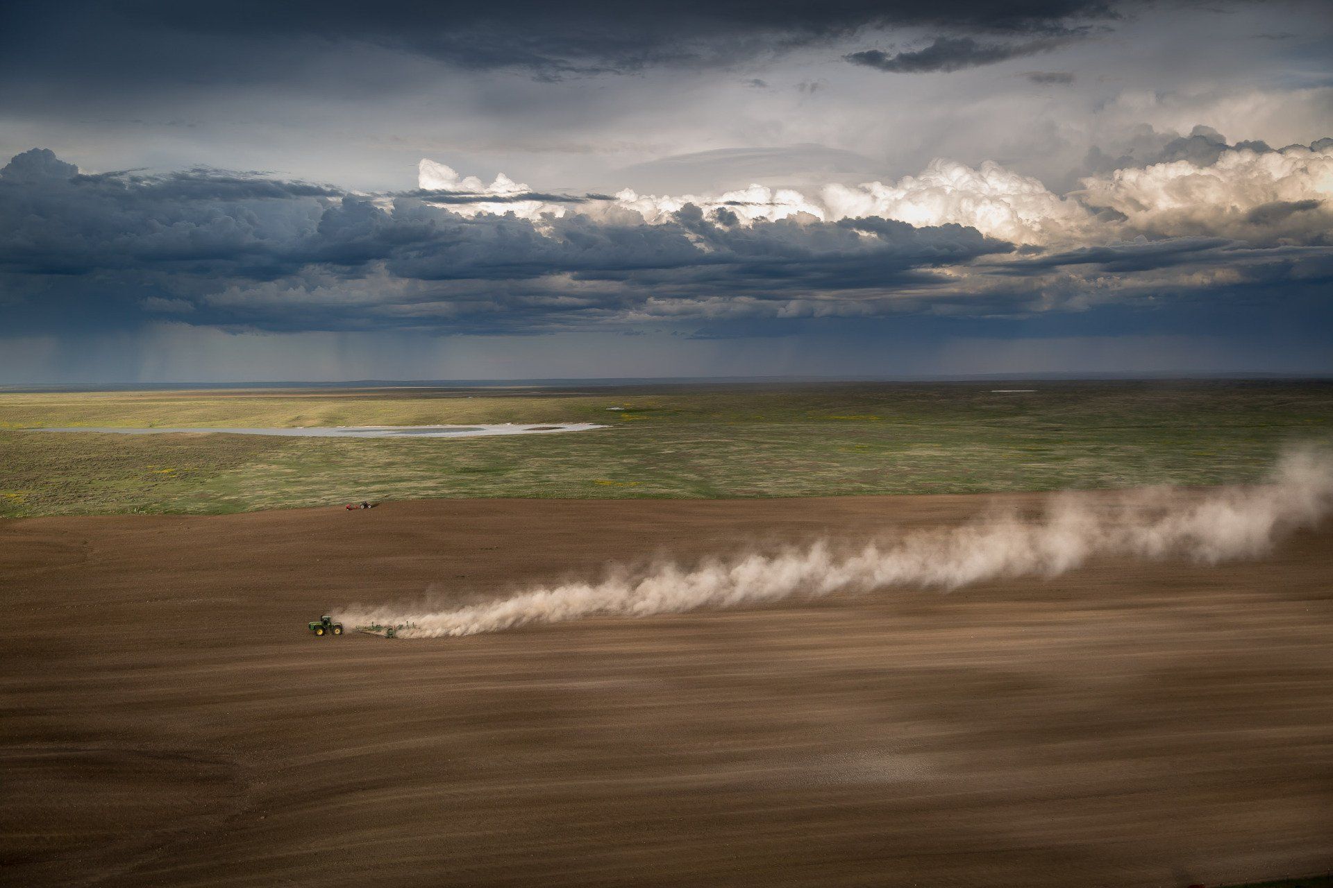
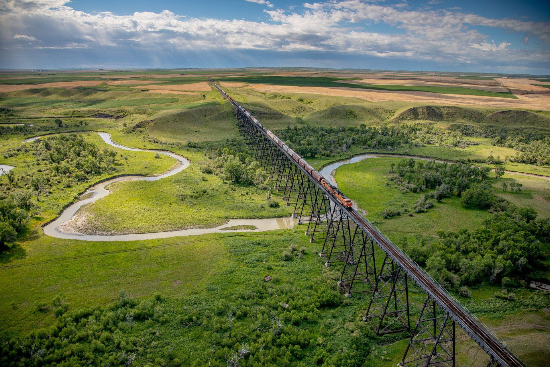
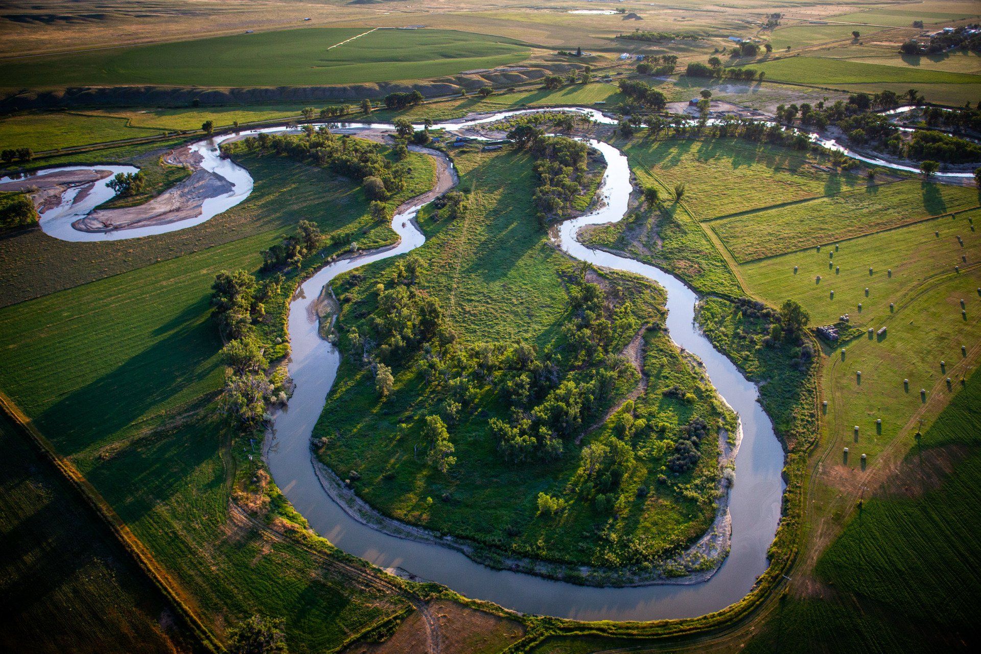
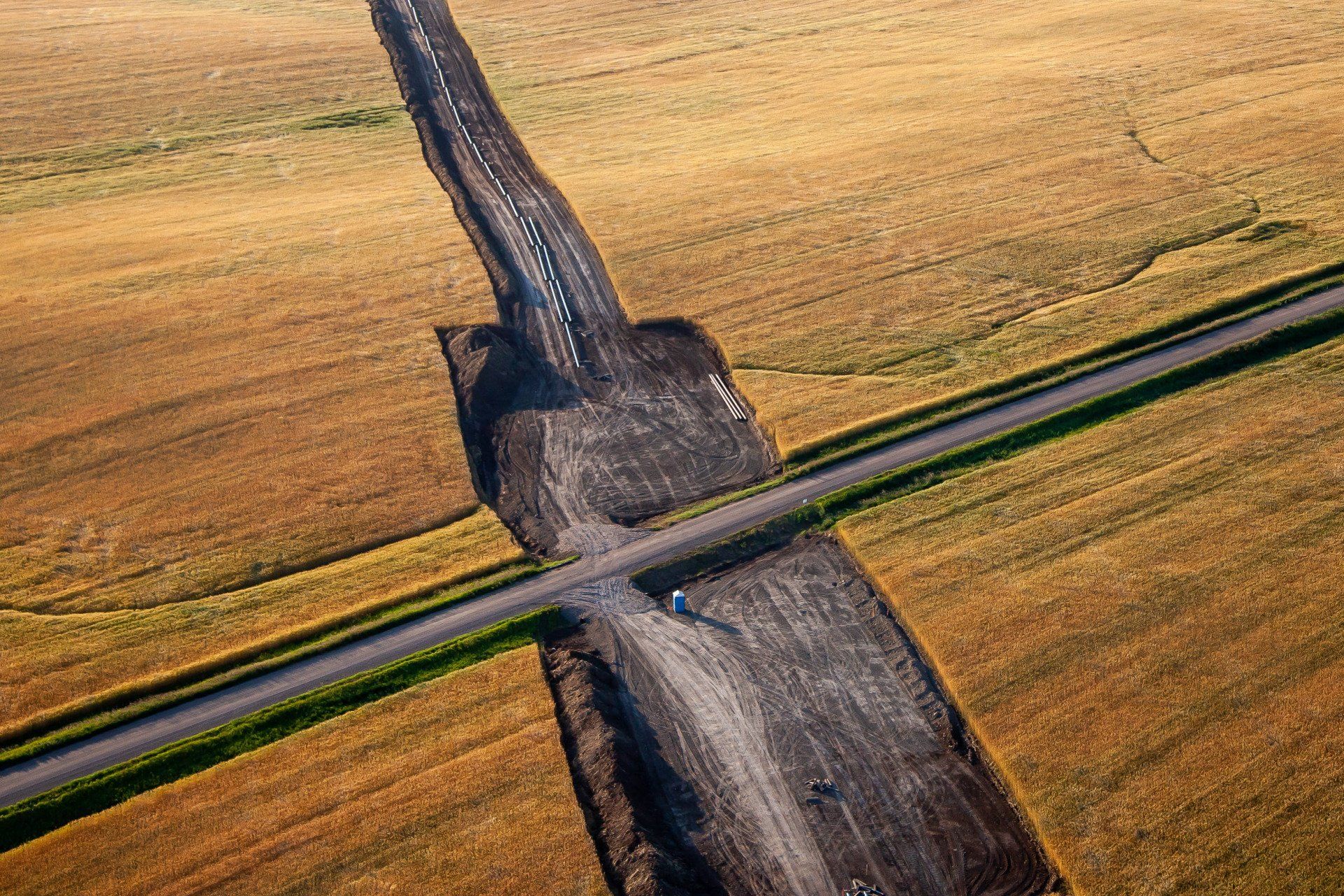
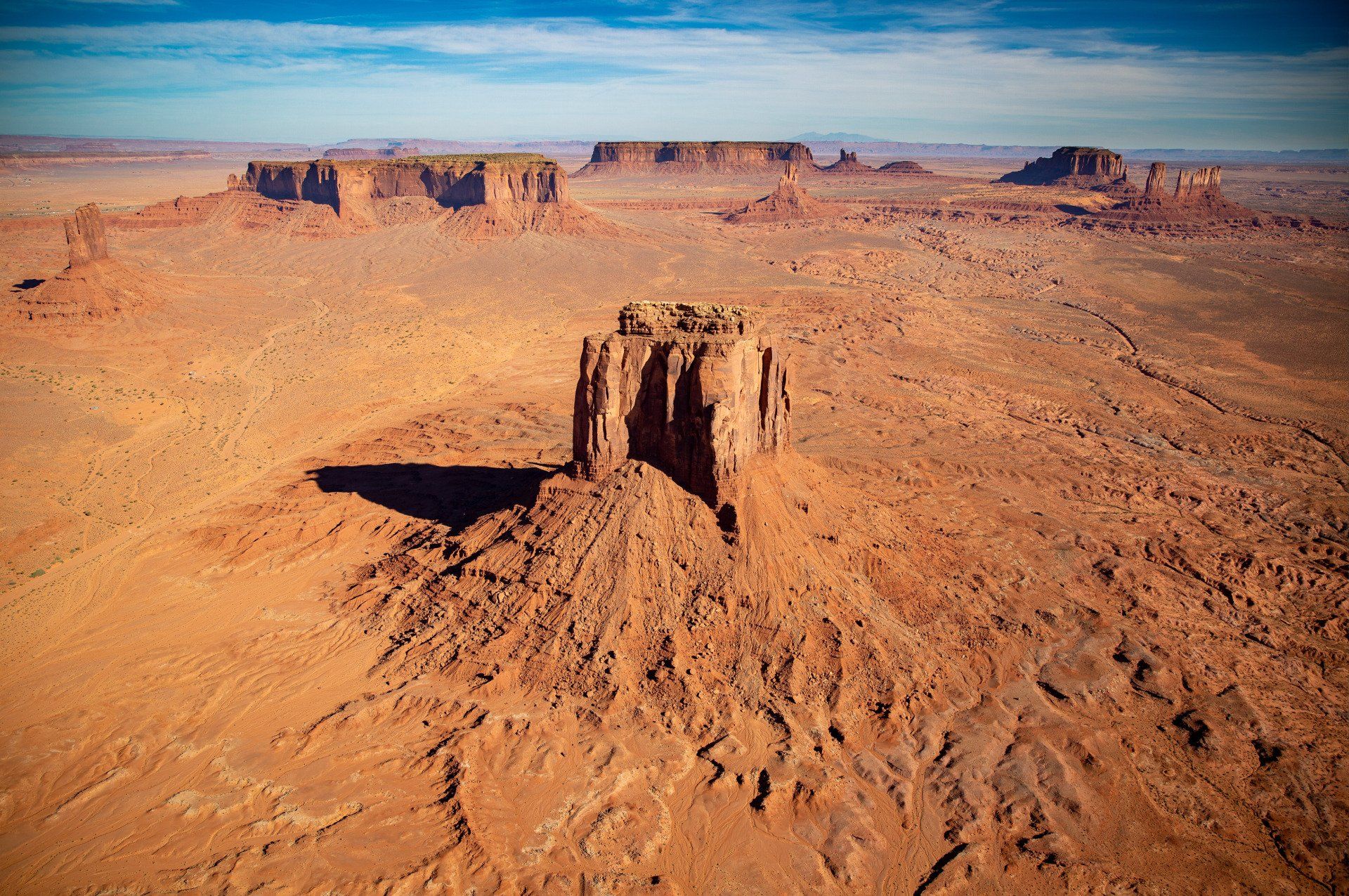
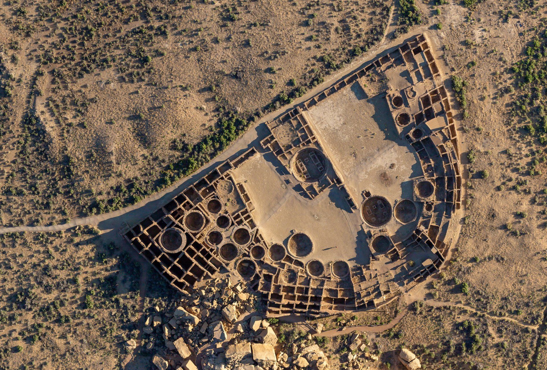
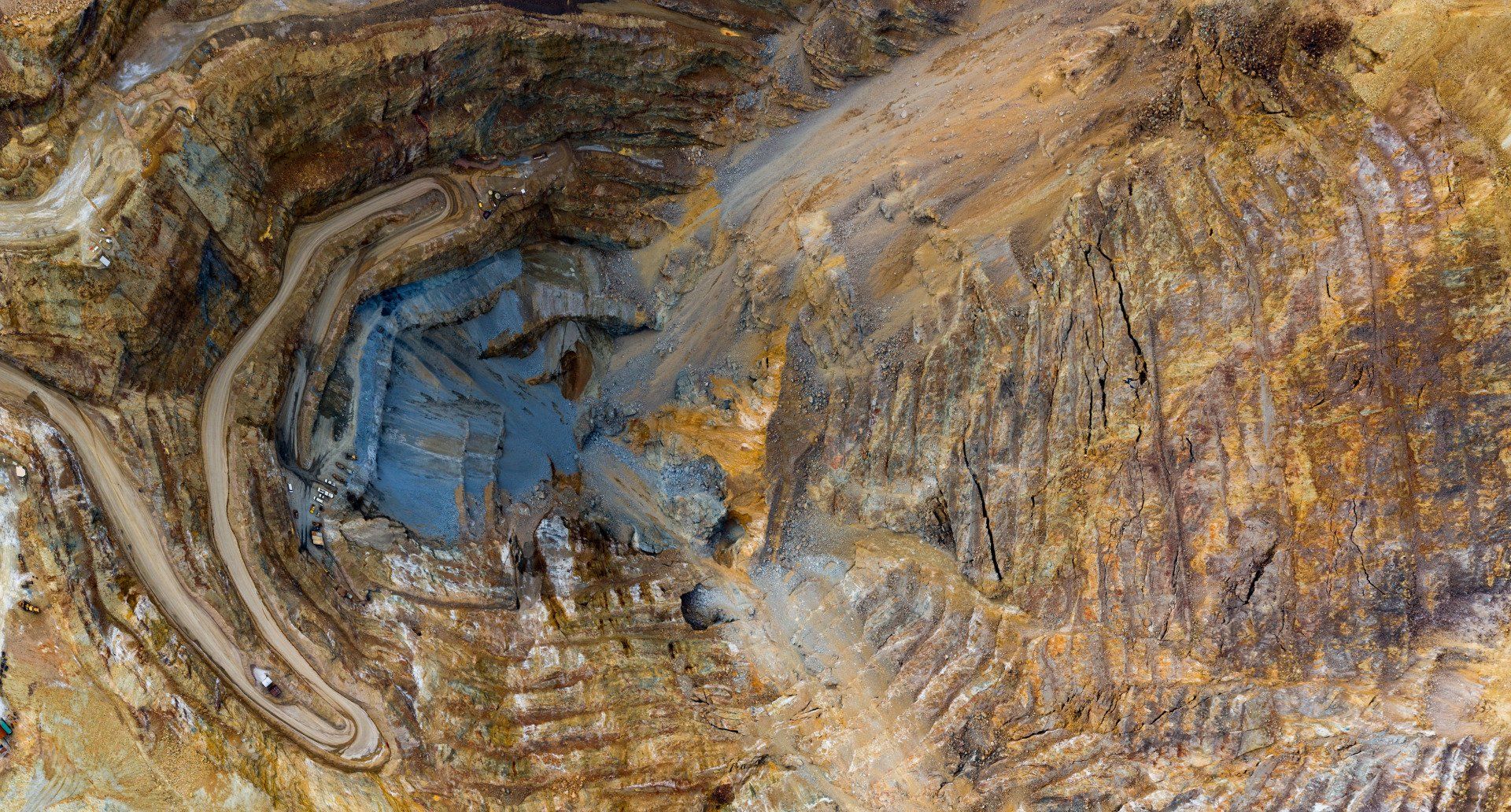
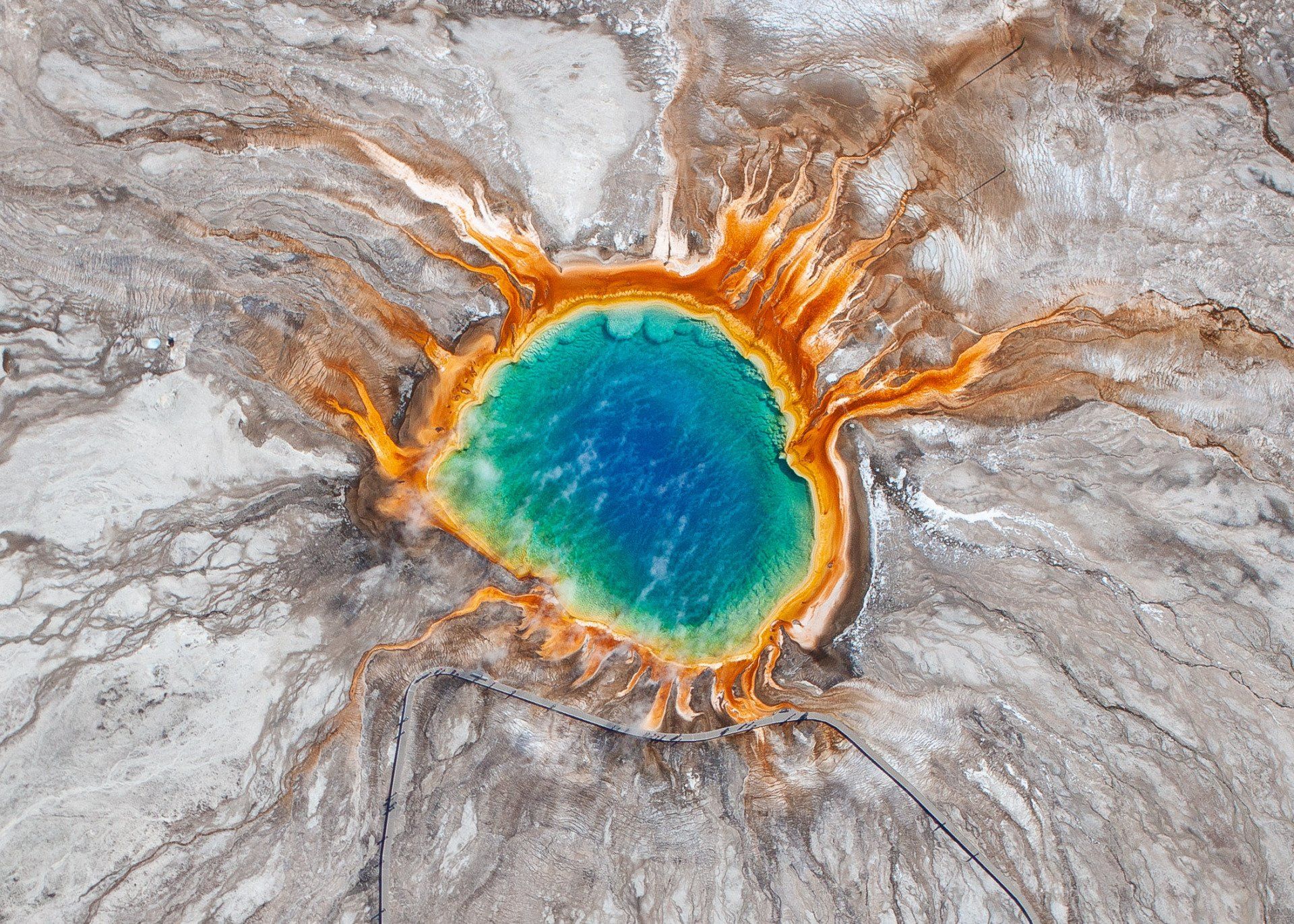
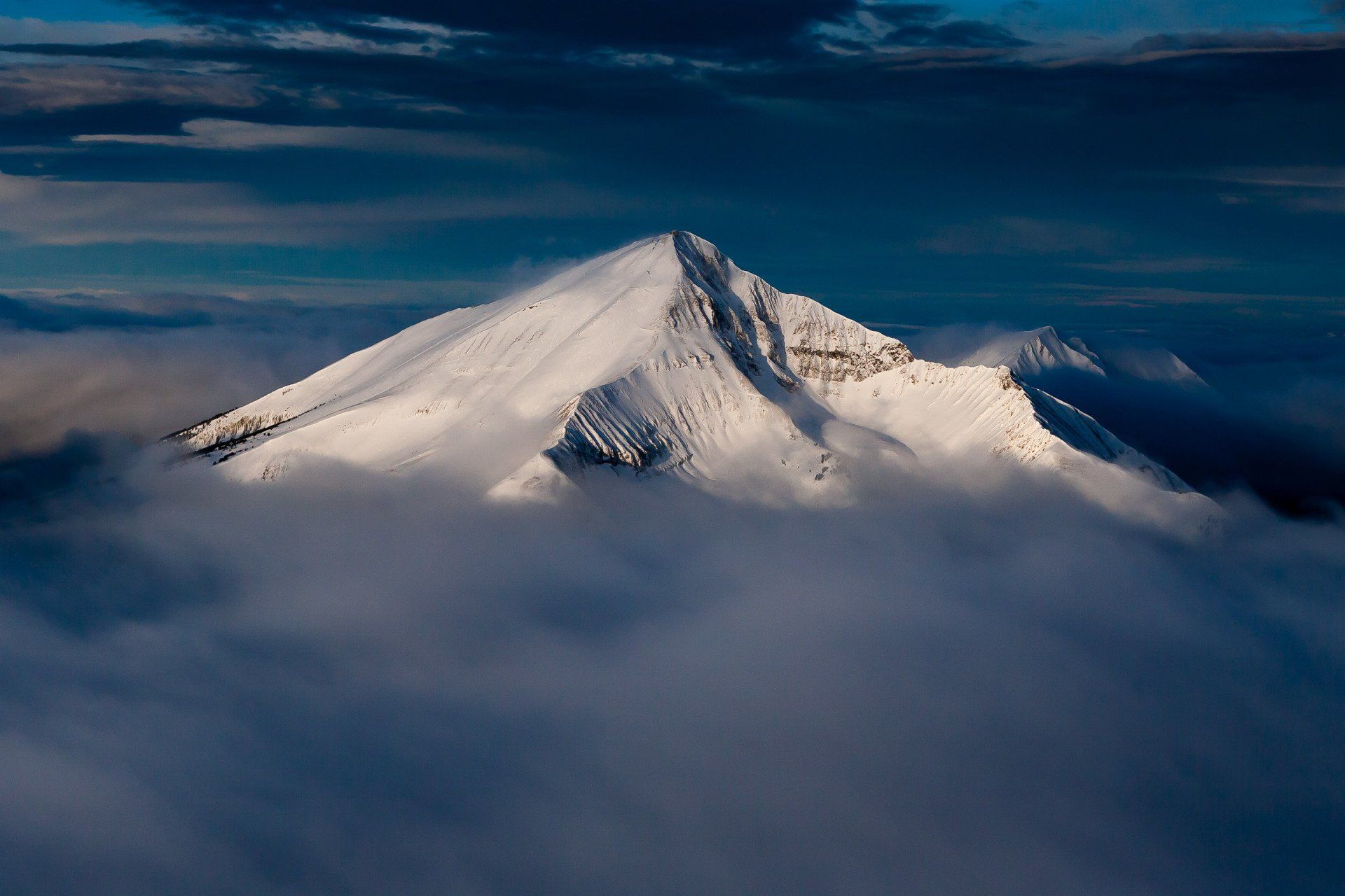
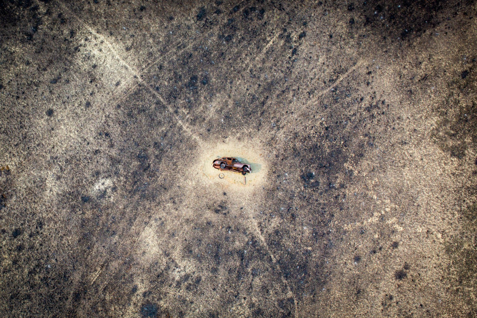
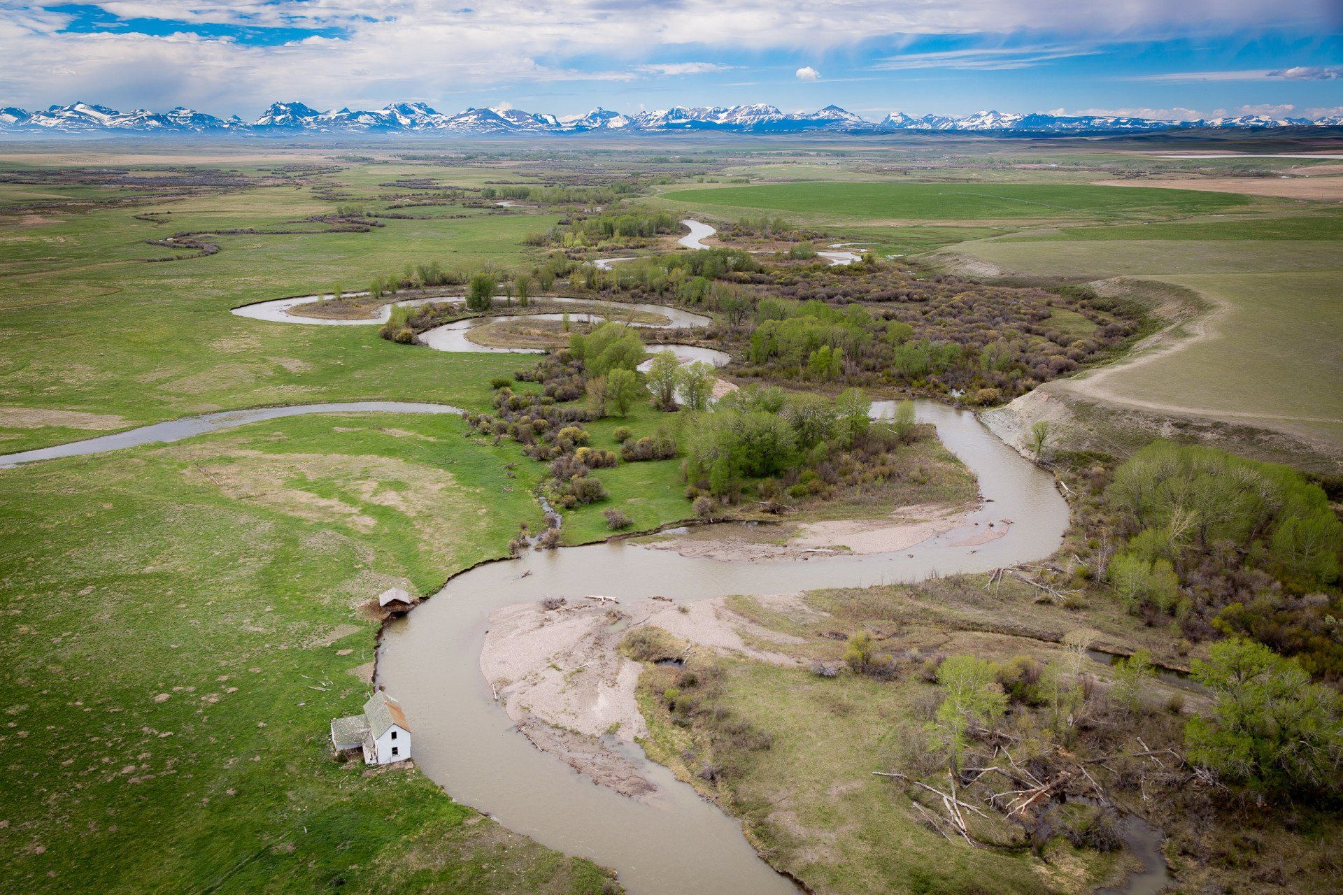
Landscapes are complex, and land management issues can be difficult to communicate with quantitative data or narrative descriptions. An aerial photograph, however, combines the beauty of a landscape photograph with the intrigue of a map, providing compelling and detailed data about habitat types, topography, geologic features, orientation of roads and facilities, along with other more subjective but equally compelling information like remoteness, complexity, beauty.
Flying at altitudes from just above the treetops to 10,000 above the ground Kestrel can capture minute landscape details and grand overviews of a more regional nature. These images can tell the story of important landscape features in a way that is meaningful to those who may not be fluent in the language of charts, graphs and statistics.
Every photograph is geotagged with map coordinates, and can be processed for online presentations or large fine art prints.
